PAOC Spotlights
New Antarctic Ice Sheet Physics Could Explain Ancient Sea Levels and Predict Future Ones
A novel glacial model including "ice cliff collapse" may explain sea level rise seen during the Pliocene and forecast glacial melt's potential contribution to future sea levels.
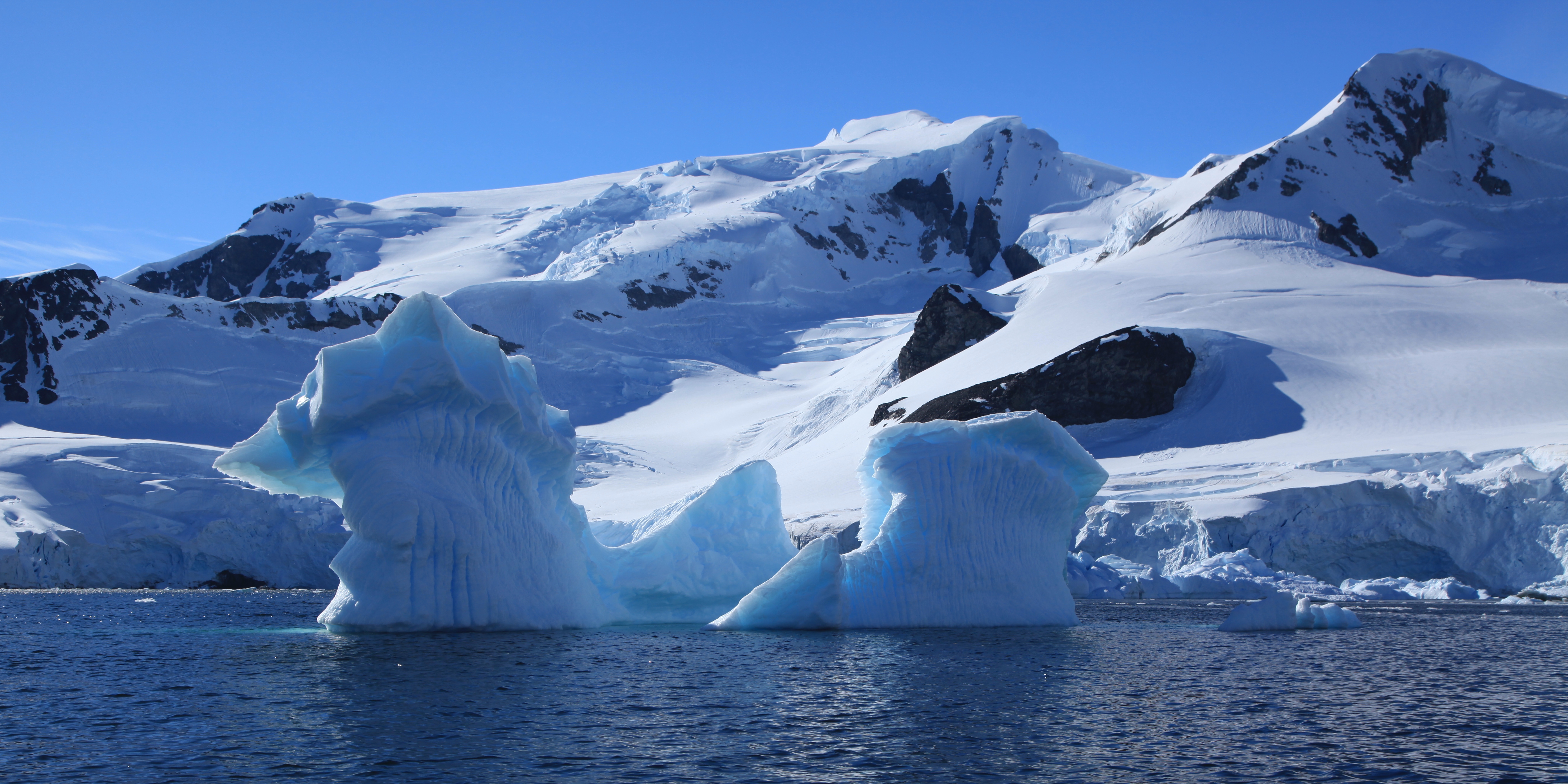
A significant portion of the Earth's water is tied up in glacial formations, particularly in Greenland and Antarctica, but as the climate changes, more of it is released, contributing to sea level rise. Climate researchers DeConto & Pollard recently investigated the impact that Antarctica ice sheet melting might have had on past sea-level rise and could have in the future. In their report, they speculated that as the Earth warms, sea levels could rise by 12+ feet in a matter of decades, rather than hundreds or thousands of years, with a total sea level rise of 5-6 feet by 2100. This is twice that reported by the United Nations 3 years ago. Additionally, the rate of sea rise might exceed 1 foot per decade by the middle of the 22nd century. Given these alarmingly large numbers, there has been much public interest in their study.
To learn more about this, we sat down with Christian Schoof, an Associate Professor of glaciology and applied mathematics, who visited EAPS for a talk on ice sheet dynamics.
The following is a transcript of an interview with Christian Schoof. Some of the questions have been edited for brevity and clarity.
How were DeConto & Pollard able to simulate past climates with their models?
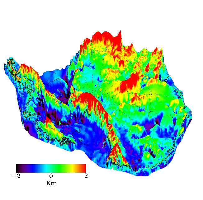
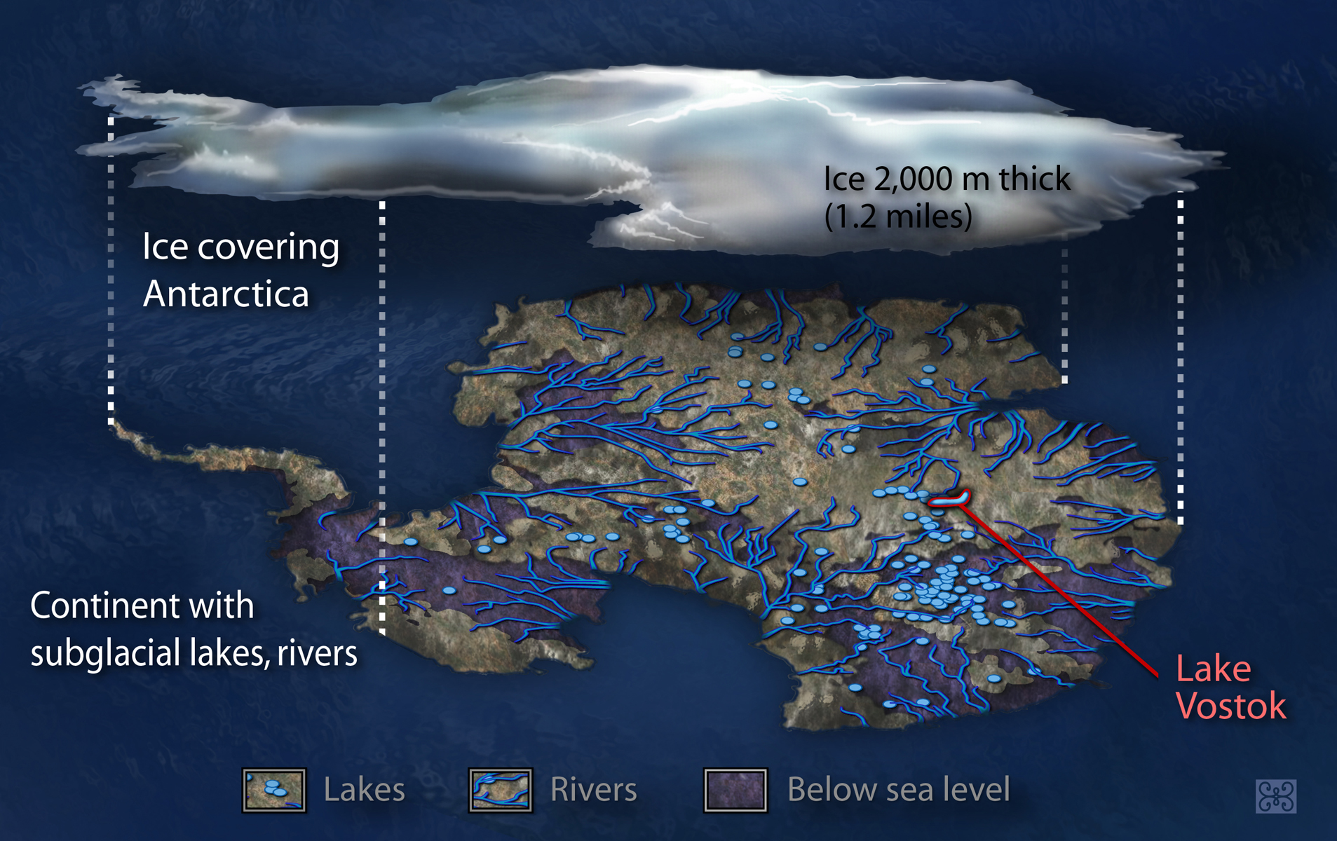 What we know is that the ocean in Antarctica has been significantly larger [in volume] than it is now. If you go to the last glacial period, the ice sheet covered essentially the whole of the Antarctica continent, including its continental shelf, especially West Antarctica. That gives you a much larger ice sheet than we have now. We also know that during the Pliocene [2.5million years ago] the global mean sea level was significantly higher than it is now. So, one of the questions is how to explain this [discrepancy in sea level rise] in a climate that wasn’t drastically hotter — in terms of mean surface temperatures — than it is today, going into the future.
We’re trying to understand the dynamics of the Antarctica ice sheet in the context of the paleoclimate and how this informs the future. The idea behind the paper is to construct a model that captures the past and extrapolates to the future, as it were, under plausible climate change scenarios.
The issue is explaining sea level and ice flow in the Pliocene. What’s important to know is that many modern ice sheet models cannot be run over very long timescales. They are not computationally efficient enough to look into the deep past. To simulate a very long time period, you need to run the model for longer. Ice sheet modeling, as a field, has advanced a lot in the last 10 years, and we have a number of very sophisticated tools that try and predict ice sheet behavior in the near-term [decades to a couple centuries from now]. But a lot of these very intricate simulations are not feasible to be run for the hundreds of thousands of years needed to inform a paleoclimate study. So, the authors used a stripped-down ice-sheet model allowing them to compute ice sheet evolution more quickly, more efficiently, including a representation of some of the physics that happen near the transition from grounded to floating ice. [It is this transition that leads to such large changes in sea level.]
In their model, as I understand it, it is not possible to explain the amount of sea level rise in the Pliocene unless you add additional physics that causes—not only the West Antarctica ice sheet to substantially disintegrate—but also causes significant ice loss from East Antarctica.
What additional “physics” or computational component did they add to their model in order to reproduce the sea level rise seen in the Pliocene and why? How do they model ice sheet disintegration and retreat in Antarctica?
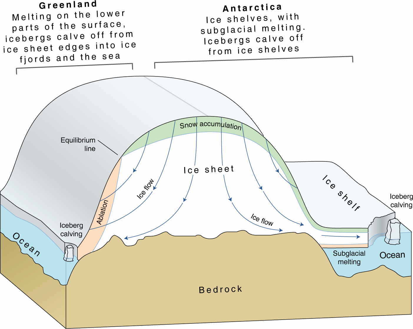
There’s an asymmetry in Antarctica. West Antarctica sits on bedrock that is considerably lower on average than East Antarctica. It has a number of troughs [in its bedrock] that are far below sea level. East Antarctica does have several troughs under it that are also significantly below sea level, but not as dramatically as West Antarctica. The idea is: You want the edge of the grounded ice—that’s thick enough to sit on bedrock—to retreat far enough into these troughs/ overdeepenings, that you get a spontaneous retreat that substantially empties these overdeepenings of ice. [This leads to sea-level going up.] There’s a positive feedback that once you retreat into these overdeepenings, the edge of the grounding line of ice will carry on retreating into the overdeepenings.
The big question is: How do you trigger that? How do you make that retreat occur, which in these authors’ models seems to require additional physics? They found that the retreat into East Antarctica wasn’t happening in their model under the paleoclimate conditions that they were forcing their model with. Knowing that there must have been some retreat into East Antarctica to explain the [increased] sea level volumes that were observed, they added a novel component which they call “ice cliff instability” that allows them to push a retreat [of the ice sheet] into East Antarctica.
Based on some observations of ice sheet behavior in a couple of spots, one in Antarctica and one in Greenland, they added a component to their model in which the edge of an ice sheet essentially, spontaneously collapses. This is a fracturing process. The idea is the following: You remove the piece of ice that has been fractured off, and thereby expose an even taller ice cliff behind it, which will then also spontaneously fracture if you also remove that piece of ice. It’s like dominos. As you go inland, the ice gets thicker, so the ice cliffs you form at every step—you break off a piece of ice from the ice cliff—the ice cliff gets taller. You’ll carry on doing this, and automatically retreat at a certain rate that they prescribe. Once you initiate this retreat based on what they call “ice cliff collapse”, in a sense you almost don’t need to run the model.
Assuming that this mechanical picture of fracturing is correct, we’re faced with the following question: How does one remove these fractured-off pieces of ice and at what rate [does this need to happen to reproduce the sea level seen in the Pliocene]? This is where we still lack some understanding.
What did this research use as a calibration? What kinds of certainty do we see in the models they used and others, particularly when it comes to the vulnerability of Antarctic ice?
The authors have used a partial understanding of the [ice cliff collapse] processes involved, and calibrated it against the Pliocene and the last interglacial period in order to reproduce what we know about sea level rise during those times. This was then used that to make projections into the future.
I’m somewhat skeptical about this— two things [in particular]. One is the argument that in order to have retreat in East Antarctica, you need this novel ‘ice cliff collapse’ mechanism. Actually, theirs is the only model that has this. Other recent literature has argued that one can trigger a retreat into East Antarctica with more economical ice sheet physics without this ice cliff fracturing process. So, have they [the authors] missed some other crucial modeling component that can explain these observations [without the need to invoke this novel physics]?
 There’s an element to this where you can say, “Well, we’re exploring a certain tail of a distribution of possible scenarios.” In order to make the Pliocene do what it did in my model, I have to put in this additional component. If you dial that up enough, you can get some fairly dramatic results and significant consequences for future projections. Which is not to say that those results are going to come to pass, but if you’re going to explore potential future outcomes, you would like to be able to associate some probabilities with them.
Secondly, there are two key glaciers important for our present climate, one in Greenland and one in Antarctica. There has been very significant retreat in those glaciers in very tall cliffs, but it’s also somewhat non-trivial in the sense that retreat, at least in Greenland, has a strong seasonal component to it, which tells you that if it [sea level rise] was purely [due to] ice cliff collapse, it should be happening at a rate that’s relatively unconstrained by climate.
So the study, in my mind, runs a little bit more under the heading of ‘speculative’.
When they looked at the future with growing GHG emissions, what did they find would happen to Antarctic ice and on what time frame? Since these results are based on these new models, how can they be sure that past climates can be used to predict these future ones?
The instrumental record doesn’t tell us enough to really bound possible outcomes, so this is why people look to paleoclimate to tell us what is actually possible. You do have to ask: well, what was different then from now or from where we are going? That's a difficult question to answer because clearly, yes, carbon dioxide in the atmosphere and global mean temperature are big factors, but presumably there are other things [physics] that one needs to worry about as well.
 I would file this under “exploratory”—what could happen. It’s difficult to say that this is impossible, but it’s based on some very recent and under-development ideas about some of the relevant physics. So it’s difficult enough to constrain various rate factors or various rates in this, and that’s 15 meters by 2500/2580.
My take on 2500: if you look at some of the IPCC projections of surface temperatures, humanity will have a great deal of problems long before we get to 15 meters of sea level rise.
In climate modeling there are many parameters that one can tune —some of them well-constrained, others are not—and here you have a model component that ice cliffs collapse when they get tall enough, basically collapse very rapidly. So you have a degree of freedom in this model that's poorly constrained, but it has big implications.
Why do climate models not incorporate this? It’s not implausible that, yes, we have been missing something, and that that “something” is this ice cliff collapse. And it’s going to give us this enormous contribution to sea level rise that the paleoclimate suggests we should take seriously. It’s appealing for its simplicity, but more work is needed.